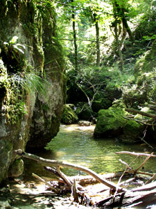
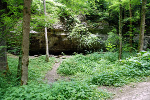
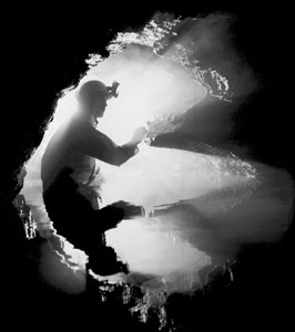
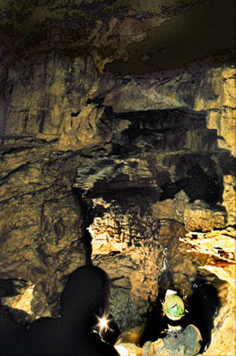

Some of the caves in Kaltbrunnental have been
known since prehistoric times. Archaeological digs
in these caves have produced a variety of finds.
But the spelaeological exploration of the caves in this region started only in November 1969. A tip from people in Zwingen led to the exploration of Bättlerloch. By Easter 1971, a total length of 800 m of explored cave passage was discovered.
Since then the extended area around Bättlerloch has attracted attention. Some small caves were explored and surveyed, including Höhle im Schäll
and Bättlerkuchi in 1972.
There was a desire to prove the hydrological connection between the Schällbach sinkhole and the stream in Bättlerloch.
In June 1972 a dye-tracing test was carried out. Surprisingly, the Schällbach sinkhole emerged not in Bättlerloch, but in Kaltbrunnental. This confirmed the earlier disregarded result of a dye-tracing test in 1923. With this knowledge, attention was directed to a temporary spring, the Versturzquelle in Kaltbrunnental. Access to the entrance siphon was forced in July 1973. By means of pumping out and diving, three siphons were overcome, and the course of the underground Schällbach was reached.
At the end of a very active period of exploration
the path led back to the enigmatic Schällbachponor. In September 1973 it became possible to enter the cave through a very narrow gully (belly crawl), behind which the largest cave chamber of the region was discovered.
Apart from a few visits to Bättlerloch nothing much happened for several years. Returning to Bättlerloch in 1988, diving passes resulted in the discovery of new passages, showing the cave to be a full kilometre long.
A new start was made in 1999 in Schällbachponor. By opening a small passage a second large cavity was found, into which Schällbach descended in the form of a waterfall. Again a siphon made it difficult to progress towards the Versturzquelle. The future will perhaps reveal what might be found behind this obstacle.
Caving in Northwestern Switzerland
The actual exploration of the caves in northwestern Switzerland began with the search for prehistoric finds. Early archaeologists were interested in caves as sites of discovery because they often were natural protected spaces, protected from external influences. In 1874, prehistoric finds were discovered in a cave during the construction of the roads and railway line from Basel to Delémont. Thereupon, some caves were examined in the Laufental valley. Thus in 1883 J.B. Thiessing dug in the Kaltbrunnen valley in the Heidenküche and made further finds. In 1934, on 16 December, Heinz Kohler discovered the naturally filled Kohlerhöhle opposite the Heidenküche. In 1944 Carl Lüdin found a complete skeleton in the Birsmatten Base Grotto at a depth of 1.20 metres. He only revealed his find years later, it was a woman who had lived in the time of the Mesolithic Period.
Geologist John Haller was a pioneer in cave exploration in northwestern Switzerland. In 1948 he explored the "glittering stone cave", Glitzersteinhöhle, mapped it with very good precision and drew a cave map which still corresponds to today's standard. The cave became very well known afterwards, since the Haller cave map was illustrated in some local history books used in school lessons. Individual publications indicate that other caves were also explored by different people during this time. A report from June 1951 in the Baselbieter Heimatblättern shows a very good, comprehensive work on the exploration of the Teufelsküche and Bruderloch caves near Wenslingen in 1949.
The Swiss Swiss Speleological Society "SSS" was founded in 1946, the Basel section "SSS Basel" in 1964. The research work focused on the Laufental valley. Several caves were worked on and an initial inventory was drawn up on behalf of an energy supply company. The largest cave discovered in Brislachallmet near Zwingen in 1969 was the Bättlerloch. With a measured length of 1 km, this is the longest cave in northwestern Switzerland.
In the Kaltbrunnen Valley, a 505 m long cave was discovered. This longest cave in the Kaltbrunnen Valley is still hardly known to the general public today due to its very difficult accessibility. AGS Liestal (Association for Speleology) was founded in 1970. This group was mainly concerned with the caves in the Upper Basel area. The focus of the work was on finding new caves and creating a comprehensive cave inventory. In 2011 the club was dissolved and joined the SSS Basel section.
Inventory work continues, however. The Basel section is developing an inventory of cave entrances, which will be integrated into the geoinformation system "GIS". This serves, for example, as a planning basis for interventions in the landscape, but also as a tool for archaeologists to easily find potential sites. Like caving, works of this kind are never finished, as the unknown underground offers surprises time and again..